Prisijunk prie SMART NET ir sutaupyk! Prisijunk

GPS imtuvas Garmin


Atsiprašome, šios prekės dabar neturime. Tačiau siūlome peržiūrėti kitas šios kategorijos prekes – tikime, kad rasite panašią prekę.

Taip pat gali tęsti apsipirkimą grįždamas(-a) į titulinį puslapį arba paieškos laukelyje įrašyti, kokios prekės ieškai.
Prekės informacija

Gaminio savybės

Bendrosios charakteristikos

Prekės ženklas Garmin
Atminties talpa
Kuo didesnė įmontuota atmintis, tuo daugiau informacijos (failų, duomenų) galėsite išsaugoti įrenginyje.
2.9 GB
Palaikomos atminties kortelės
Atminties kortelės pagalba galite praplėsti vidinę įrenginio atmintį, jeigu įrenginys tokią funkciją palaiko. Kuo didesnė atminties kortelės talpa, tuo daugiau duomenų galėsite įrašyti.
Micro SD
Palaikomos kalbos
Nurodomos palaikomos vartotojo sąsajos kalbos.
Anglų, Rusų
Maršrutų atmintis
Nurodoma ar įrenginys gali išsaugoti tam tikras kelio atkarpas, arba kelius, kuriais ruošiamasi keliauti.
200
Su vaizdo kamera
Nurodoma ar įrenginys turi įmontuotą foto kamerą. Kuo įmontuotas fotoaparatas turi daugiau megapikselių, tuo fotografuojamos nuotraukos bus aiškesnės ir kokybiškesnės.
Taip
Automatinis maršrutizavimas
Nurodoma ar įrenginys turi galimybę automatiškai parinkti trumpiausią maršrutą iki paskirties vietos.
Taip
Kompasas
Nurodo ar prietaisas gali nustatyti kryptį.
Taip
"Geocaching" palaikymas
Nurodoma ar įrenginys palaiko Geocaching funkciją. Geocaching - tai žaidimas GPS imtuvų turėtojams, primenantis lobių ieškojimą. Jo taisyklės paprastos: žaidėjas kur nors paslepia nedidelę dėžutę su keliais nedideliais daiktais, bloknotu ir pieštuku. GPS imtuvu nustatęs slėptuvės koordinatės žaidėjas jas kartu su nedidele užuomina paskelbia svetainėje www.geocaching.com. Kitas „Geocaching“ žaidėjas, suradęs lobį, gali paimti vieną iš rastų daiktų, tačiau turi pakeisti jį kitu (adekvačios ar didesnės vertės). Be to, jis turi pasirašyti įdėtoje užrašinėje, kurioje radėjas radęs slėptuvę pažymi radimo datą ir savo slapyvardį.
Taip
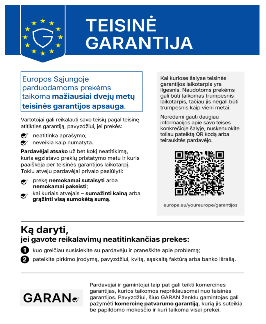
Privaloma garantija 24 mėn
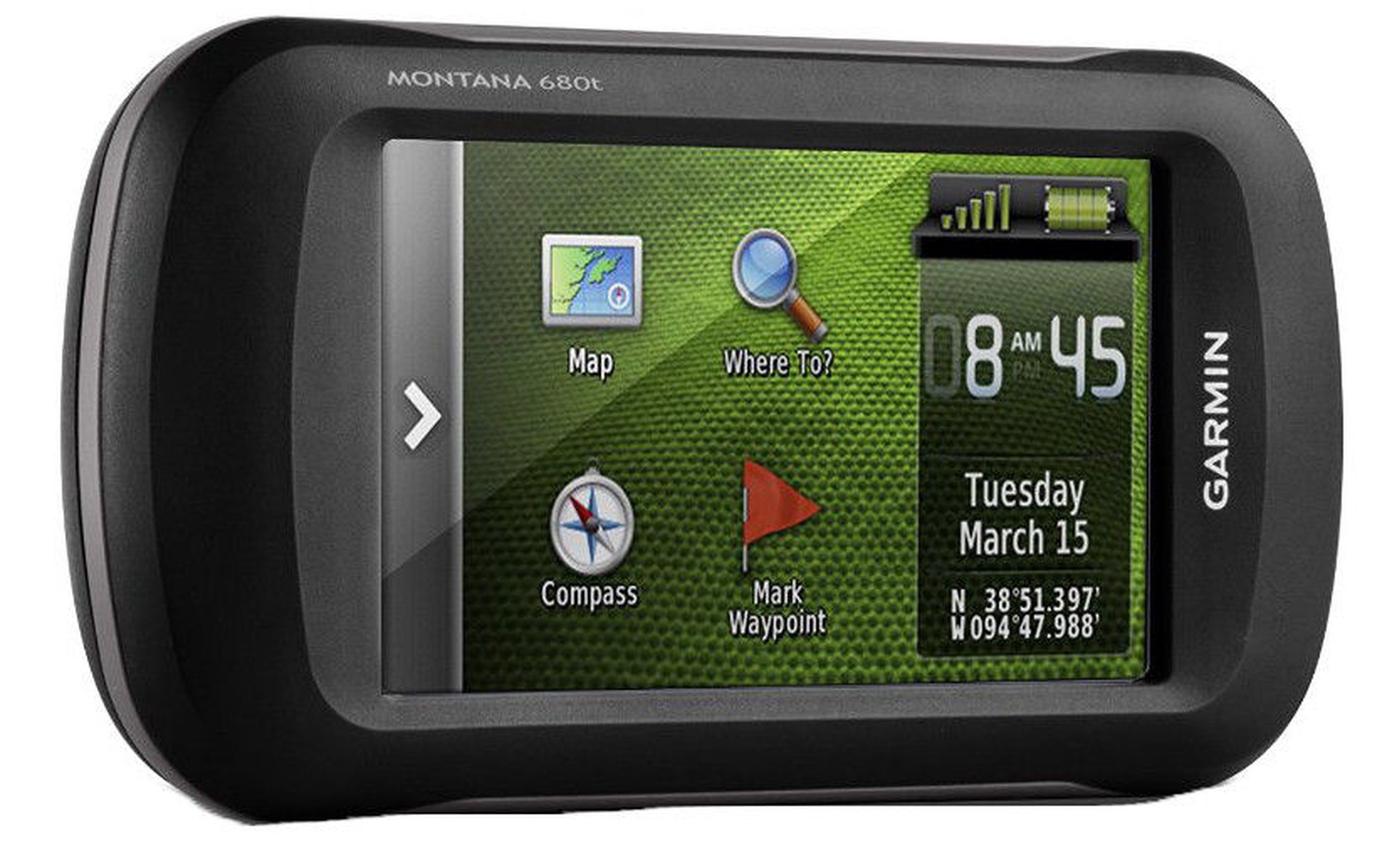
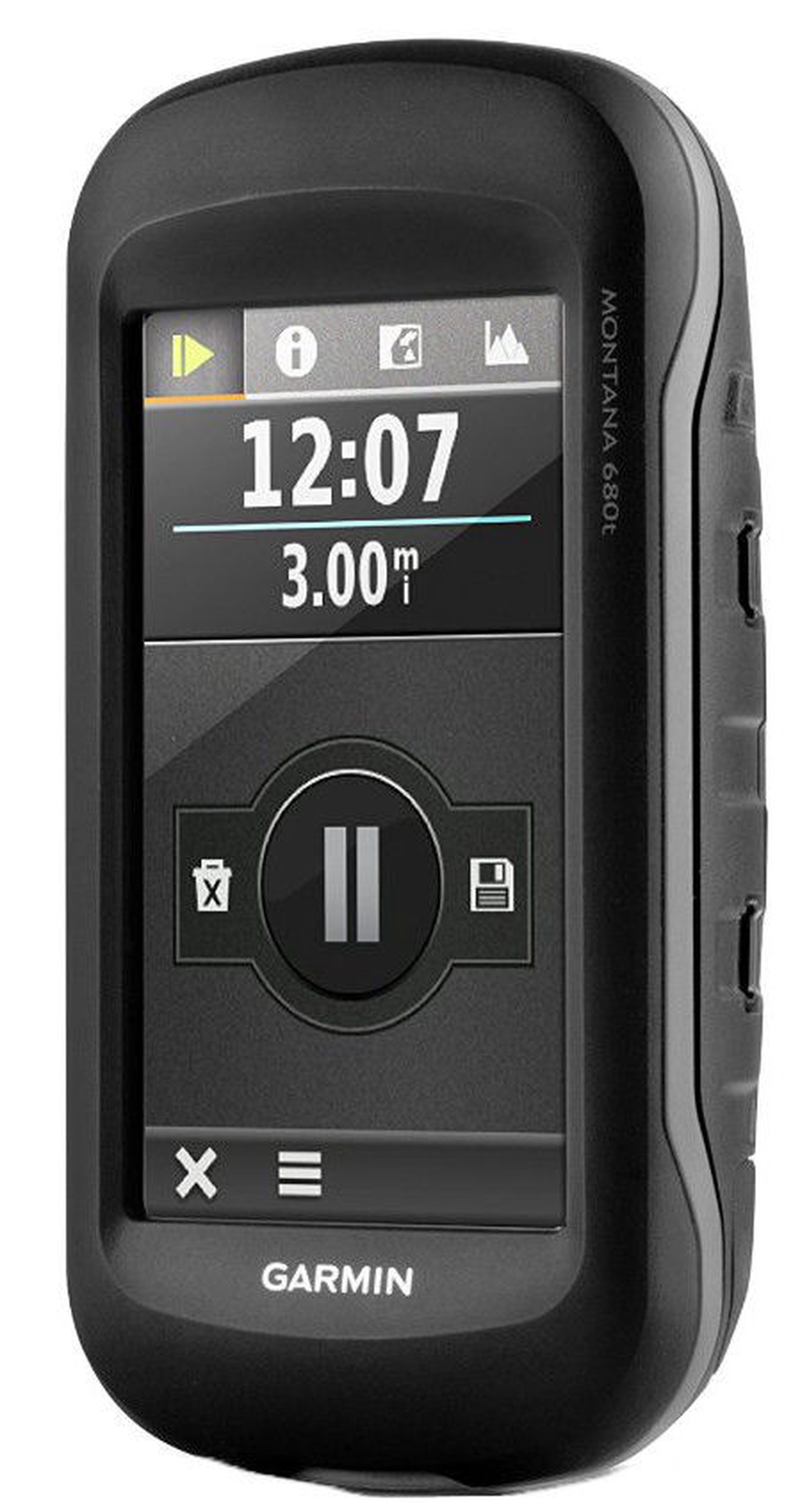
Garmin Montana 680t GPS EE Packaging
Prekės aprašymas anglų kalba:

The handheld GPS to go anywhere and everywhere
  • NEW GPS and GLONASS – faster and better satellite fix
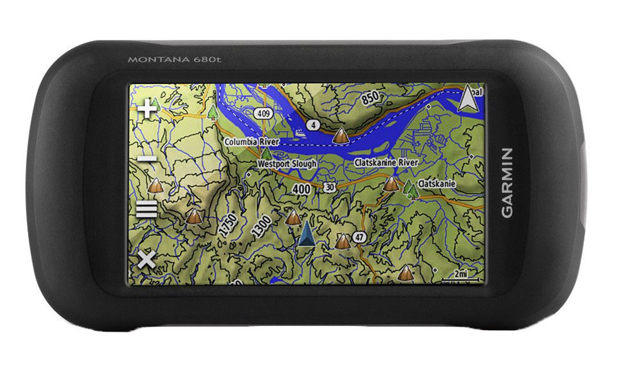
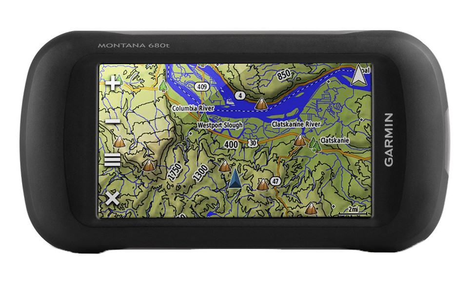
  • 4" outdoor optimised, dual orientation display – best visibility on Garmin's largest handheld display, for easy readability under any condition
  • NEW Comes with great content preinstalled – Recreational Map of Europe, 250k geocaches from Geocaching.com and 1 year free BirdsEye Satellite Imagery1
  • NEW Adds new Track Manager for better user experience and more control
  • NEW 8MP camera – for high resolution geotagged pictures
  • Most versatile navigation everywhere – most versatile features, display and mounting
  • Barometric altimeter and 3-axis compass

See the Big View

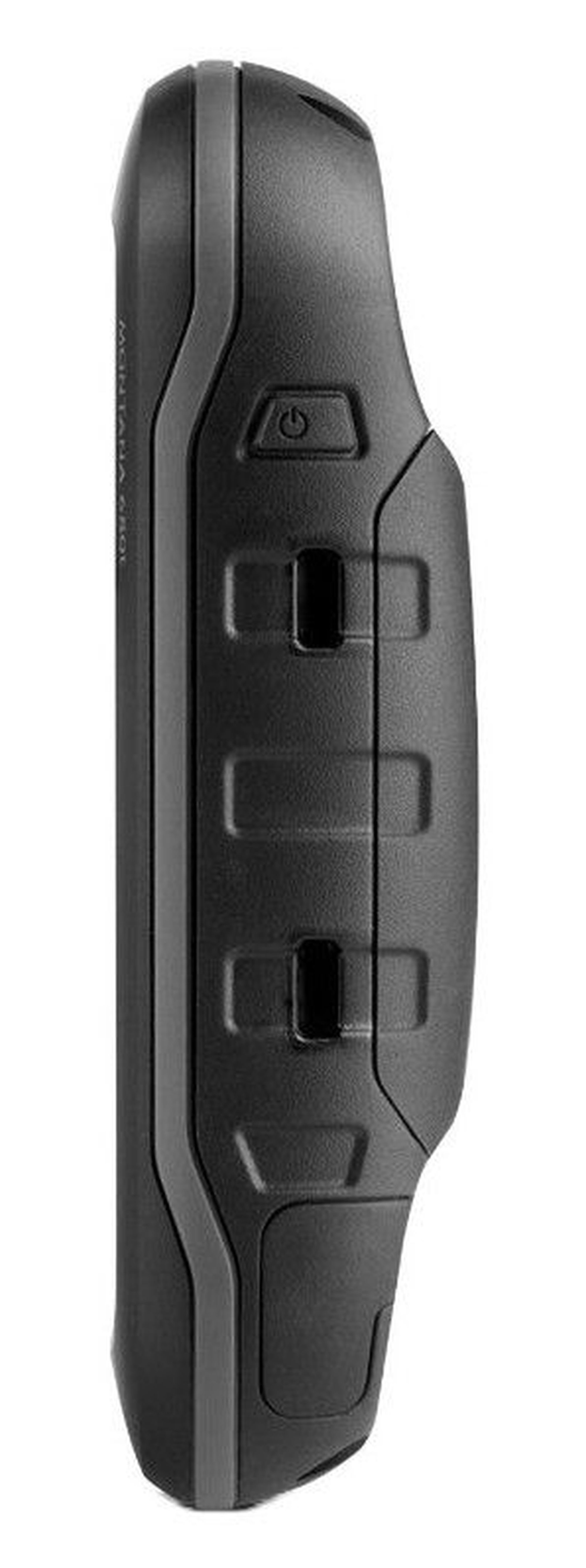
Montana 680t features a 4" outdoor optimised, dual orientation touchscreen display that offers best readability under any light condition. The easy-to-use touch screen user interface means you’ll spend more time enjoying the outdoors and less time searching for information. Adventurers love the extra-large display of Montana that provides great readability due to big data fields and clearly visible map features. Both durable and water resistant, Montana 680t is built to withstand the elements. Bumps, dust, dirt, humidity and water are no match for this rugged navigator.

Take Geotagged Pictures

Capture locations and memories with Montana 680t’s upgraded 8 megapixel digital camera. Each photo is geotagged automatically with the location of where it was taken, allowing you to navigate back to that exact spot in the future. Snap and view pictures in landscape or portrait orientation. Keep track of your photos and see their locations on a map using BaseCamp™. Insert a microSD™ card for more photo storage or to view pictures from other devices.

Keep Your Fix

With the new high-sensitivity GPS and GLONASS receiver, Montana 680t locates your position quickly and precisely and maintains its location even in thick forest and deep valleys. The advantage is clear — whether you’re under heavy tree cover or just near tall buildings and trees, you can count on Montana 680t to help you find your way when you need it the most.

Go Anywhere

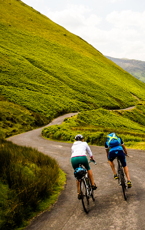
With an array of compatible mounts, Montana is designed for use on bicycles, in 4x4s, on boats and as a handheld or for convenient everyday navigation in your car. Use the optional auto mount with City Navigator maps for spoken, turn-by-turn driving directions, or try out the optional rugged mount for your motorcycle or ATV.

Go Everywhere

Montana 680t comes preloaded with a Recreational Map Europe and a free 1-year BirdsEye Satellite Imagery subscription for great aerial images to enhance your navigation, in case you want more detailed information adding more maps to Montana is easy. Load TOPO maps and hit the trail, plug in BlueChart® g2 preloaded cards for a great day on the water, or load City Navigator map data for turn-by-turn driving directions. Or, transform paper maps into files you can download to your Montana with Custom Maps.

Navigate with Ease

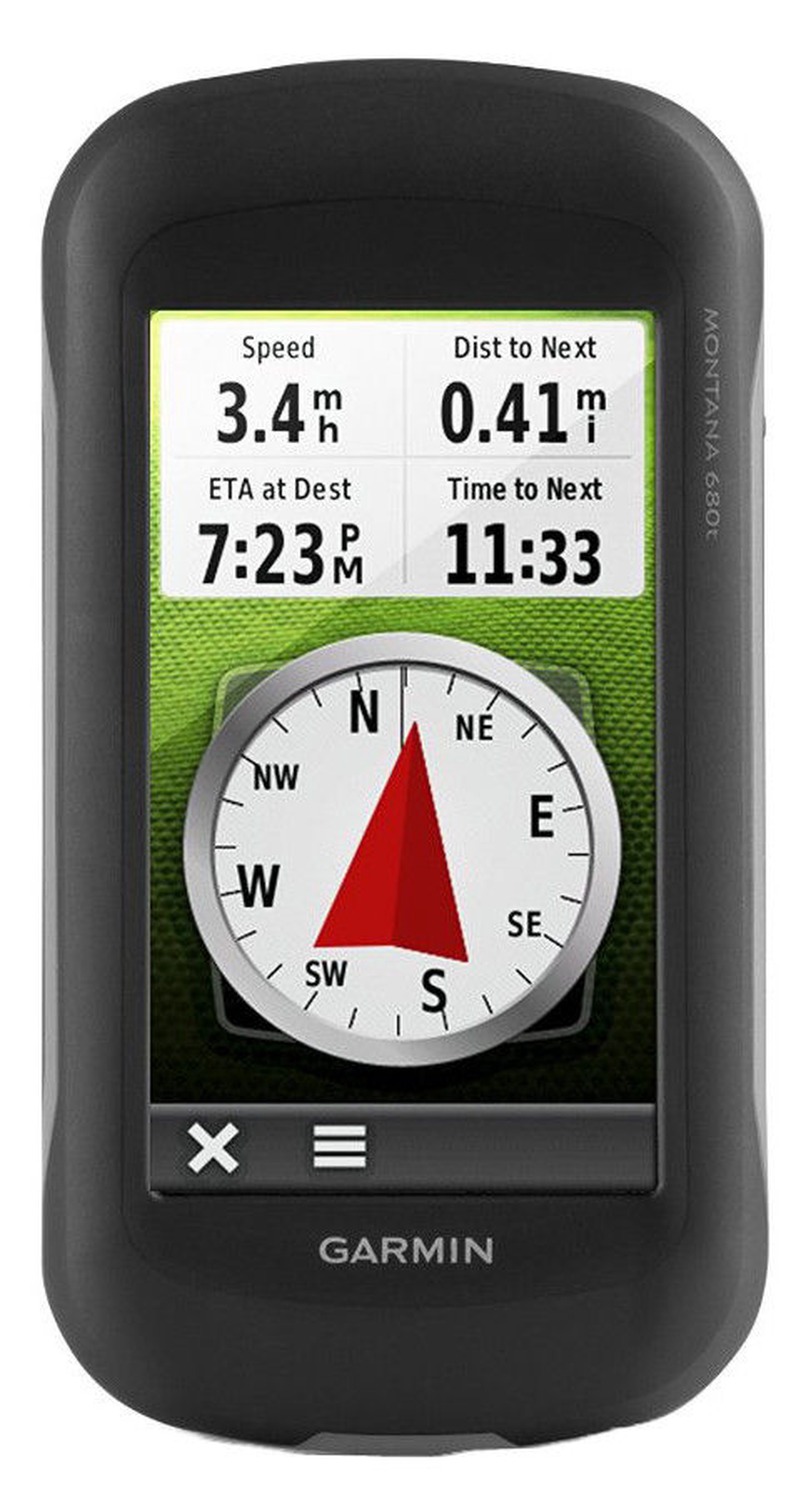
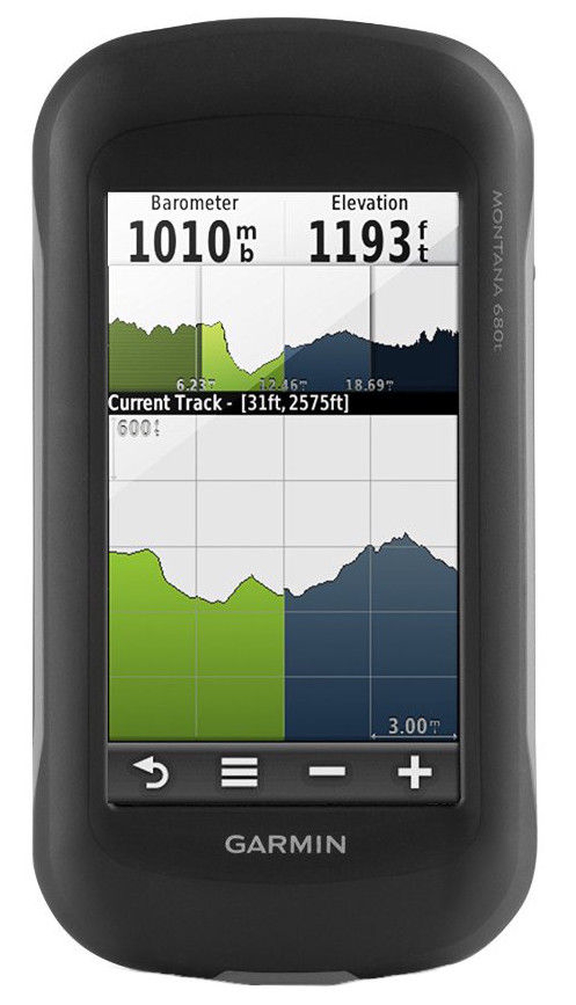
The new Montana 680t features a Track Manager app that allows you to record, view and analyse your tracks in a very convenient and intuitive way. The handheld has key features for the outdoors such as a 3-axis tilt-compensated compass which shows your heading even when you’re still, without holding it level. It also has a barometric altimeter which tracks changes in pressure to pinpoint your precise altitude, and you can even use it to plot barometric pressure over time, which can help you keep an eye on changing weather conditions.

Find Fun

Montana 680t comes preloaded with 250,000+ assorted geocaches from geocaching.com and supports paperless geocaching. This allows Montana 680t to store and displays key cache information, including location, terrain, difficulty, hints and descriptions, which means no more manually entering coordinates and paper print outs. Once you want to add more caches simply upload the GPX file to your device and keep the hunt going.

Share Wirelessly

With Montana 680t you can share your waypoints, tracks, routes and geocaches wirelessly with other compatible Garmin GPS users. Simply press “Send” to transfer your information to other units.

Double Your Power

Montana 680t features the Garmin dual battery system that guarantees a maximum of independence. You’ll have the option of using the rechargeable lithium-ion battery pack or traditional AA alkaline batteries – whichever suits you best.

Plan Your Next Trip

Take charge of your next adventure with our free BaseCamp™, software that lets you view and organise maps, waypoints, routes, and tracks. This free trip-planning software even allows you to create Garmin Adventures that you can share with friends, family or fellow explorers. BaseCamp displays topographic map data in 2-D or 3-D on your computer screen, including contour lines and elevation profiles. It also can transfer an almost unlimited amount of satellite images to your device from the included BirdsEye Satellite Imagery subscription.

The Montana is the ultimate take-anywhere navigator for the serious adventurer.

Prekės atspalvis gali skirtis nuo matomo nuotraukoje. Prekės aprašymas yra bendro pobūdžio, jame nebūtinai yra paminėtos visos prekės savybės. Internetinėje parduotuvėje skelbiamos prekių kainos, akcijos gali skirtis nuo prekių kainų, akcijų taikomų prekybos, aptarnavimo centruose. Prekių likutis sandėlyje ir internetinėje parduotuvėje išimtinais atvejais gali nesutapti, todėl išlieka galimybė, kad pristatymo terminai gali skirtis nuo nurodytų užsakymo pateikimo metu ir / arba Tavo užsakymo įvykdyti negalėsime arba įvykdysime tik jo dalį (tokiais atvejais, Pirkėjas yra nedelsiant apie tai informuojamas). AI Modified - Redaguota naudojant DI

Pastebėjai klaidą prekės aprašyme, savybių lentelėje ar nuotraukų galerijoje? Pranešk mums